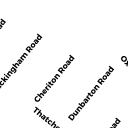
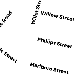
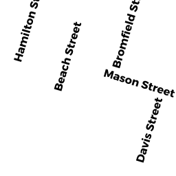
16 DUNBARTON RD
Owner Information
SWEENEY ALICE C TREE
16 DUNBARTON RD
QUINCY, MA 02171


Property Details
16 DUNBARTON RD is classified as a Single Family Residential (Colonial).
The primary structure on this property was built in 1910. There are 3,194ft2 of built area within this property. There is 1,798ft2 of residential/living space within this property. This property is listed as having 8 rooms.
16 DUNBARTON RD is valued at $502,800. The land is valued at $257,400 and the structures are valued at $236,300. There is an additional valuation of $9,100 on this property.
This property is in Zone RES A. Confirm with local Zoning Board authorities to ensure there are no overlays or other easements on this property.
The most recent deed for 16 DUNBARTON RD is recorded at the local registrar in Book 27039, Page 0409. 16 DUNBARTON RD was last sold on Thursday, September 3, 2009 for $0.
Assessment data from fiscal year 2020.
Flood Data
According to the FEMA National Flood Hazard Layer, this property does not appear to be in a flood zone. It may also be in an area not yet reviewed. Nonetheless, confirm this information prior to taking any action.
To view the flood hazards around this property, create a FEMA "Firmette" Map of the area around 16 DUNBARTON RD.
Broadband Internet Providers
| Provider | Type | Bandwidth (mbps) | |
|---|---|---|---|
| Verizon New England Inc. | DSL | 10 | 1 |
| Viasat Inc | Satellite | 100 | 3 |
| Comcast | Cable | 1000 | 35 |
| Starry, Inc. | Fixed Wireless | 200 | 200 |
| VSAT Systems, LLC. | Satellite | 2 | 1 |
| HughesNet | Satellite | 25 | 3 |
| GCI Communication Corp. | Satellite | 0 | 0 |
Broadband service provider data from December 2020.
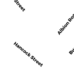
Adjacent Properties
- 22 DUNBARTON RD
Single Family Residential owned by LIU SO KING & CHI FAN - 45 CHERITON RD
Single Family Residential owned by WU SAIYU - 49 CHERITON RD
Single Family Residential owned by NGAI PO CHU POLLY - 41 CHERITON RD
Single Family Residential owned by SHEEHAN STEPHEN A - 10 DUNBARTON RD
Single Family Residential owned by DALY ELIZABETH A TREE